
Established 1889 Time zone AEST (UTC+10) Parish Mingelo Local time Wednesday 3:32 PM Federal division Division of Calare | Postcode(s) 2869 County Narromine Postal code 2869 State electorate(s) Orange LGA(s) Parkes Shire | |
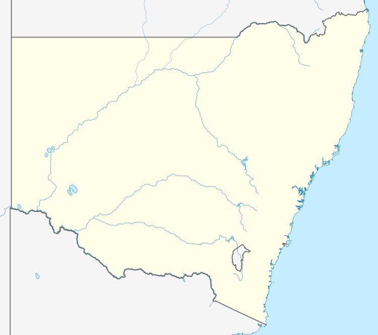 | ||
Location 401 km (249 mi) WNW of Sydney
79 km (49 mi) SSW of Dubbo
41 km (25 mi) N of Parkes Weather 23°C, Wind E at 14 km/h, 36% Humidity | ||
Trewilga is a bounded rural locality in Parkes Shire, Central New South Wales. Trewilga is about 401 km (249 mi) westnorthwest of New South Wales' capital city of Sydney. The postcode for Trewilga NSW is 2869. The area was opened up in the Australian Gold Rush, with a town of four streets by four streets gazetted in 1889 and a railway station.
Map of Trewilga NSW 2869, Australia
Today mining remains an important feature of the community with twenty mines in the district. The area is however, predominantly agricultural and Trewilga Railway Station closed in the 1970s.
Goobang National Park lies to the east of the suburb.
References
Trewilga Wikipedia(Text) CC BY-SA