
Postcode(s) 3785 Area 5 km² Federal division Division of La Trobe | LGA(s) Shire of Yarra Ranges Postal code 3785 Population 4,094 (2006 census) | |
 | ||
Location 31 km (19 mi) from Melbourne7 km (4 mi) from Belgrave | ||
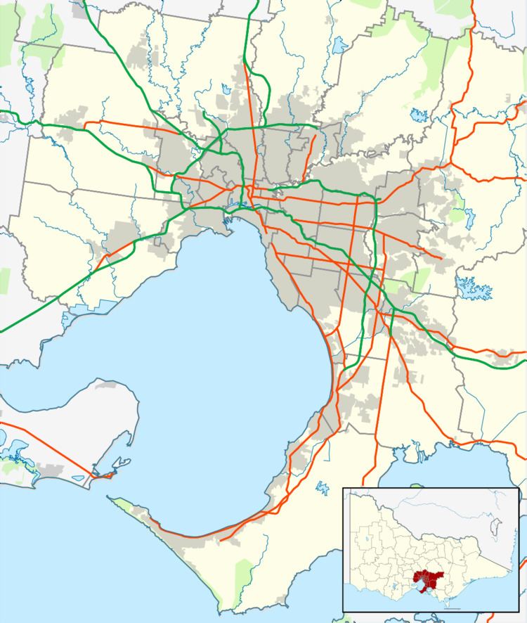
Tremont is a suburb in Melbourne, Victoria, Australia, 31 km east of Melbourne's central business district. Its local government area is the Shire of Yarra Ranges. At the 2006 census, Tremont had a population of 4094.
Map of Tremont VIC 3785, Australia
Almost the entire suburban area is within the Dandenong Ranges National Park.
The Post Office opened on 16 July 1913, was known as Dunstan's until 1919, and closed in 1977.
Tremont was affected by the Dandenong Ranges fire of 22 January 1997.
References
Tremont, Victoria Wikipedia(Text) CC BY-SA