
 | ||
Similar Bossiney Haven, St Materiana's Church - T, Carclew House, Sandymouth Beach, Pencarrow | ||
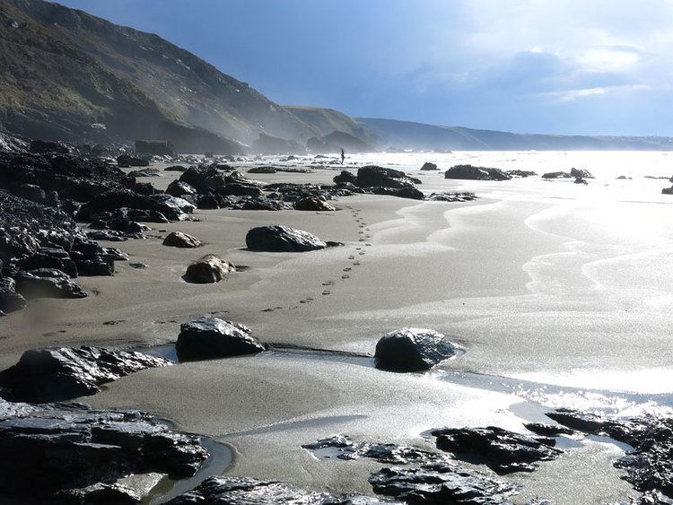
Tregardock (Cornish: Tregaradek, meaning homestead of Caradoc) is a coastal hamlet and beach in the civil parish of St Teath in north Cornwall, England, United Kingdom. It is situated between Trebarwith Strand and Port Gaverne. The small beach is accessed by climbing down the cliffs near the settlement of Tregardock.
Map of Treligga, Delabole, UK
The manor of Tregardock was recorded in the Domesday Book (1086) when it was held by Alfward from Robert, Count of Mortain; he had also held it before 1066. There was half a hide of land and land for 3 ploughs. There were two and a half ploughs, 2 serfs, 4 villeins, 6 smallholders, 10 acres of pasture and 50 sheep. The value of the manor was 10 shillings though it had formerly been worth £1 sterling.
The manor of Treligga was recorded in the Domesday Book (1086) when it was held by Odo from Robert, Count of Mortain. There was 1 hide of land and land for 2 ploughs. There were 1 plough, 2 serfs, 1 villein, 2 smallholders and 6 acres of pasture. The value of the manor was 5 shillings though it had formerly been worth 10 shillings.
Treligga adjoining Tregardock was the location of a World War II aerial bombing and gunnery range at Treligga aerodrome, 2 km west of Delabole.