Population 1,771 (2011) Principal area Ceredigion Sovereign state United Kingdom Local time Wednesday 3:02 AM Post town Aberystwyth | OS grid reference SN 653841 Country Wales Postcode district SY23 3 Ceremonial county Dyfed UK parliament constituency Ceredigion | |
 | ||
Weather 2°C, Wind NW at 5 km/h, 93% Humidity | ||
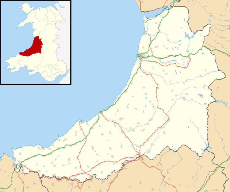
The Community of Trefeurig is situated around four miles north-east of Aberystwyth, and includes Penrhyn-coch, Salem, Pen-bont Rhydybeddau, Cwmsymlog, Cwmerfyn, Banc-y-darren, Cefn-llwyd, and Capel Madog.
Map of Trefeurig, UK
There is a history of lead mining in the area.
References
Trefeurig Wikipedia(Text) CC BY-SA
