Population 470 (2011 census) LGA(s) Gympie Region Federal Division(s) Wide Bay Postal code 4570 Station code 600499 | Postcode(s) 4570 State electorate(s) Gympie Traveston Cooran Local time Wednesday 6:55 AM | |
 | ||
Location 25 km (16 mi) SE of Gympie; 55 km (34 mi) N of Nambour; 156 km (97 mi) N of Brisbane Weather 18°C, Wind S at 13 km/h, 77% Humidity | ||
Traveston is a small town and locality in the Gympie Region, Queensland, Australia. In the 2011 census, Traveston had a population of 470 people.
Contents
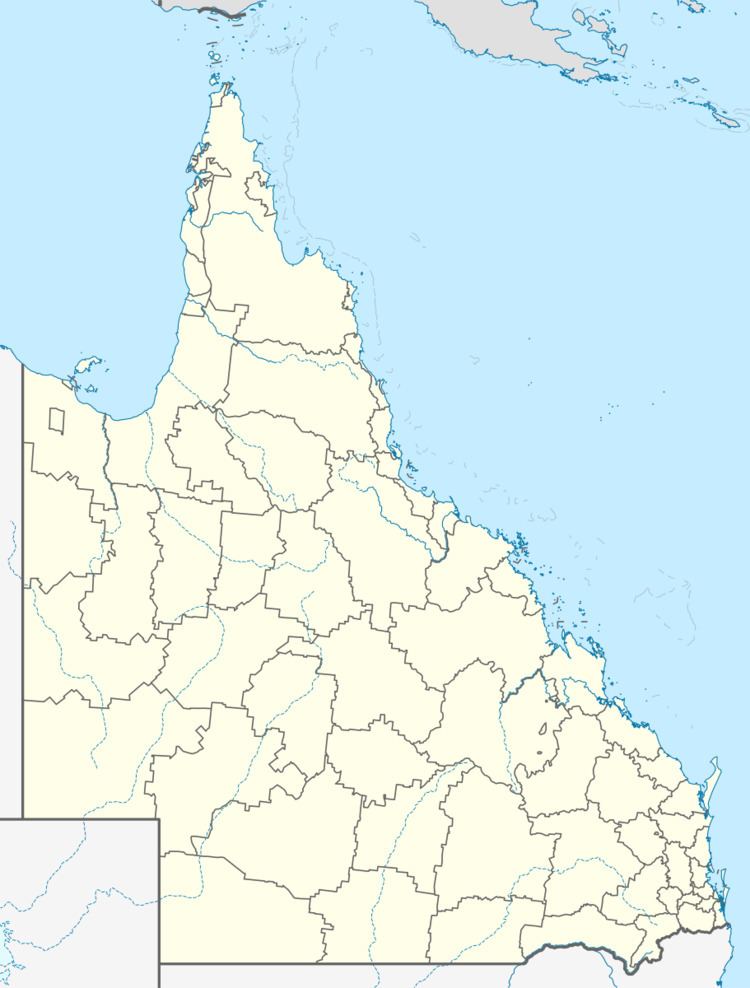
Map of Traveston QLD 4570, Australia
Geography
Traveston is predominantly farm land with a small urban area to the west of the Traveston railway station on the North Coast railway line which passes through the north-eastern part of locality from the south-east to the north-west. The Bruce Highway passes through the south-western part of the locality travelling from the south-east to the north-west. Traveston Road connects the highway to the railway station and then follows the railway line to the south-east to neighbouring Cooran.
Dairying is the main industry.
History
The town is believed to be named after an early settler/grazier called Traves who was in the area in the 1860s.
Heritage listings
Traveston has a number of heritage-listed sites, including:
