
Country Vietnam Capital Trảng Bom Area 326 km² Local time Sunday 6:14 AM | Region Southeast Time zone UTC + 7 (UTC+7) Province Đồng Nai Province | |
 | ||
Weather 26°C, Wind E at 11 km/h, 82% Humidity | ||
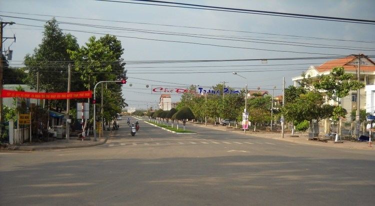
Trảng Bom is a rural district of Đồng Nai Province in the Southeast region of Vietnam. Located on the National Highway 1, Trảng Bom was the site of fierce fighting in April 1975, prior to the fall of Saigon and the end of the Republic of Vietnam.
Map of Tr%E1%BA%A3ng Bom, Dong Nai, Vietnam
As of 2003 the district had a population of 192,627. The district covers an area of 326 km². The district capital lies at Trảng Bom.
In the district there are 16 municipalities:
References
Trảng Bom District Wikipedia(Text) CC BY-SA