
Country Canada Time zone EST (UTC−5) Area code(s) 450 and 579 Area 99.2 km² Local time Saturday 6:32 PM | Constituted April 2, 1885 Postal code(s) J0S 1G0 Highways Route 138
Route 203 Population 1,155 (2011) Province Québec | |
 | ||
Weather 0°C, Wind S at 6 km/h, 46% Humidity RCMs Montérégie, Le Haut-Saint-Laurent Regional County Municipality | ||
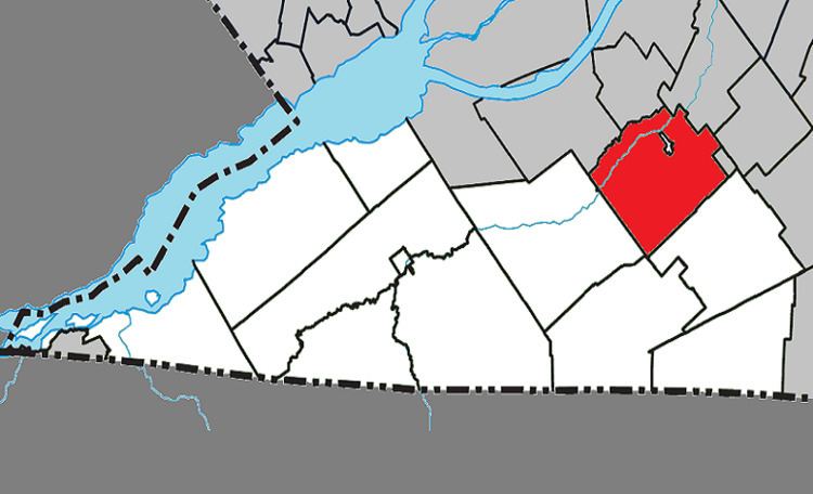
Très-Saint-Sacrement is a parish municipality located along the Chateauguay River in the Montérégie region of Quebec. The population as of the Canada 2011 Census was 1,155. Established in 1885, the municipality completely encloses the village of Howick, which was incorporated as a separate entity in 1915.
Contents
Map of Tr%C3%A8s-Saint-Sacrement, QC, Canada
Communities
The following locations reside within the municipality's boundaries:
Lakes & Rivers
The following waterways pass through or are situated within the municipality's boundaries:
Transportation
The CIT du Haut-Saint-Laurent provides commuter and local bus services.
References
Très-Saint-Sacrement, Quebec Wikipedia(Text) CC BY-SA