
Local time Monday 7:05 PM Area code 479 | Time zone CST (UTC-6) Population 14,279 (2010) | |
 | ||
Weather 19°C, Wind W at 16 km/h, 55% Humidity Area 289.7 km² (246 km² Land / 43.67 km² Water) Points of interest War Eagle Cavern, Veterans Park, Monte Ne, Ed Cooley Gallery, Lane Hotel | ||
Township 2 is one of thirteen current townships in Benton County, Arkansas, USA. As of the 2010 census, its total population was 14,279.
Contents
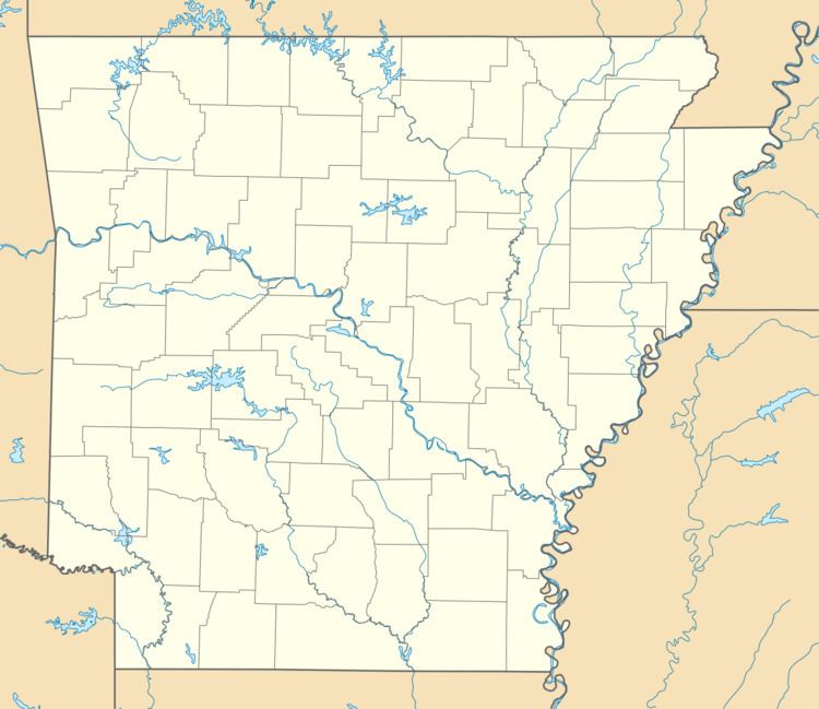
Map of Township 2, AR, USA
Geography
According to the United States Census Bureau, Township 2 covers an area of 111.844 square miles (289.67 km2); 94.984 square miles (246.01 km2) of land and 16.860 square miles (43.67 km2) of water.
Cities, towns, and villages
References
Township 2, Benton County, Arkansas Wikipedia(Text) CC BY-SA