GNIS feature ID 1989186 Area 87 km² Area code 479 | Time zone CST (UTC-6) Elevation 420 m Local time Monday 7:04 PM | |
 | ||
Weather 18°C, Wind W at 18 km/h, 59% Humidity Points of interest Lake Atalanta, Lost Bridge South Park, Pea Ridge National Military P, Elkhorn Tavern, Devil's Eyebrow Natural A | ||
Township 1 is one of thirteen townships in Benton County, Arkansas, USA.
Contents
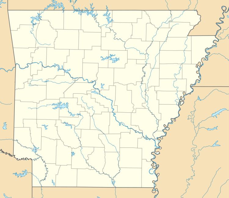
Map of Township 1, AR, USA
Cities, towns, villages
Cemeteries
The township contains Alpine Cemetery, Bayless Cemetery, Clantonville Cemetery, Dean Cemetery, Ford Cemetery, Liberty Cemetery, McReynolds Cemetery, Ozark Cemetery, Pratt Cemetery, Scott Cemetery, Snoderley Cemetery, Walnut Hill Cemetery, and Williams Cemetery. Two former cemeteries also exist: Henson Cemetery and Williams Cemetery.
Major routes
References
Township 1, Benton County, Arkansas Wikipedia(Text) CC BY-SA
