
Country Japan Prefecture Aomori Prefecture - Flower Azalea Local time Tuesday 6:50 AM | Region Tōhoku - Tree Japanese Red Pine Population 62,870 (28 Feb 2017) | |
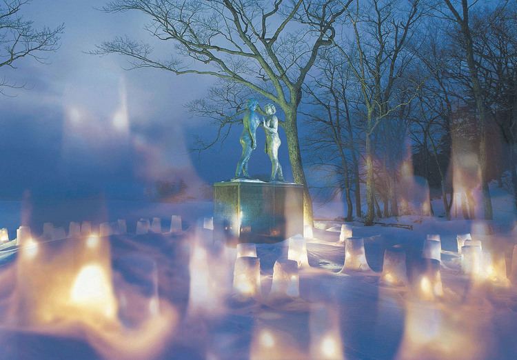 | ||
Time zone Japan Standard Time (UTC+9) Weather 3°C, Wind SW at 3 km/h, 94% Humidity Points of interest Lake Towada, Towada Art Center, Lake Towada Winter's T, Towada Shrine, 瞰湖台 kankodai | ||
Towada (十和田市, Towada-shi) is a city located in central Aomori Prefecture, in the Tōhoku region of northern Japan. As of 28 February 2017, the city had an estimated population of 62,870 and a population density of 86.7 persons per km² in 27,399 households. The total area was 725.65 square kilometres (280.18 sq mi).
Contents
- Map of Towada Aomori Prefecture Japan
- Geography
- Neighbouring municipalities
- Demographics
- History
- Government
- Economy
- Colleges and universities
- High schools
- Elementary schools and middle schools
- Railway
- Highway
- Local attractions
- International relations
- Noted people from Towada
- References
Map of Towada, Aomori Prefecture, Japan
Geography
Towada is located in the foothills of the Hakkoda Mountains and encompasses the Aomori portion of Lake Towada. The Oirase River passes through the town. The city has a cold humid climate characterized by cool summers and cold winters with heavy snowfall (Köppen climate classification Cfa). The average annual temperature in Towada is 9.8 °C. The average annual rainfall is 1233 mm with September as the wettest month.The temperatures are highest on average in August, at around 22.8 °C, and lowest in January, at around -2.3 °C. Part of the city is within the limits of the Towada-Hachimantai National Park.
Neighbouring municipalities
Demographics
Per Japanese census data, the population of Towada peaked at around the year 2000, and has been in decline thereafter.
History
The area around present-day Towada was formerly a wasteland known as Sanbongihara (三本木原), which became the location of a colonization and land reclamation project initiated by the Nambu clan of Morioka Domain from 1855. The project was headed by Nitobe Tsutō, the grandfather of Inazō Nitobe. The project was continued by the Meiji government, and the area was designated a ranch area for breeding cavalry horses by the Imperial Japanese Army in 1885. The inclement climate of the area was considered ideal for breeding horses that would be suitable for use in the cold climate areas of Manchuria and Siberia. The village of Sanbongi was established with the establishment of the municipalities system on April 1, 1889. On September 1, 1910, Sanbongi was designated a town. It was elevated to the status of a city on February 1, 1955. In October 1956, it changed its name to “Towada”.
On January 1, 2005, the town of Towadako (from Kamikita District) was merged into Towada.
Government
Towada has a mayor-council form of government with a directly elected mayor and a unicameral city legislature of 22 members.
Economy
The economy of Towada is based largely on agriculture.
Colleges and universities
High schools
Towada has four public high schools operated by the Aomori Prefectural Board of Education
Elementary schools and middle schools
There are 17 public elementary schools and 9 public middle schools in Towada operated by the municipal government, and one middle school operated by the prefectural government.
Railway
Towada currently has no passenger railway service. The Towada Kankō Electric Railway Line connecting Towada with Misawa had five stations within the city. It was discontinued in 2012 and replaced by a bus service.