
Country Canada Elevation 950 m Population 179 (2011) | Time zone MST (UTC-7) Area 69 ha Local time Monday 6:58 AM | |
 | ||
Weather -2°C, Wind NW at 16 km/h, 89% Humidity | ||
Torrington is a hamlet in central Alberta, Canada within Kneehill County. It is located approximately 160 kilometres (99 mi) northeast of Calgary at the junction of Highway 27 and Highway 805.
Contents
Map of Torrington, AB, Canada
The hamlet is located in census division No. 5 and in the federal riding of Crowfoot.
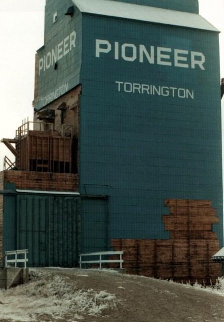
The main industry is agriculture.
The community is home to the Gopher Hole Museum, dedicated to stuffed Richardson's ground squirrels (technically not gophers) in anthropomorphic taxidermy settings.
A very large outdoor gopher sculpture (12 ft high) named "Clem T. GoFur" is located in the village.
All 11 of Torrington's fire hydrants were painted to look like gophers.
Torrington was incorporated as a village until 1997, when it dissolved to hamlet status under the jurisdiction of Kneehill County.
Demographics
As a designated place in the 2016 Census of Population conducted by Statistics Canada, Torrington recorded a population of 170 living in 83 of its 89 total private dwellings, a change of −5% from its 2011 population of 179. With a land area of 0.63 km2 (0.24 sq mi), it had a population density of 269.8/km2 (698.9/sq mi) in 2016.
As a designated place in the 2011 Census, Torrington had a population of 179 living in 81 of its 90 total dwellings, a -2.7% change from its 2006 population of 184. With a land area of 0.69 km2 (0.27 sq mi), it had a population density of 259.4/km2 (672/sq mi) in 2011.