
Population 64 (2006 census) State electorate(s) Mount Isa Federal division Division of Kennedy | Postcode(s) 4816 Postal code 4816 Lga Shire of Flinders | |
 | ||
Location 1,503 km (934 mi) NW of Brisbane
293 km (182 mi) SW of Townsville
90 km (56 mi) E of Hughenden | ||
Torrens Creek is a locality in northern Queensland, Australia. The town is in the Shire of Flinders and on the Flinders Highway, 1,503 kilometres (934 mi) north west of the state capital, Brisbane and 293 kilometres (182 mi) west of the regional centre of Townsville. At the 2006 census, Torrens Creek and the surrounding area had a population of 64.
Map of Torrens Creek QLD 4816, Australia
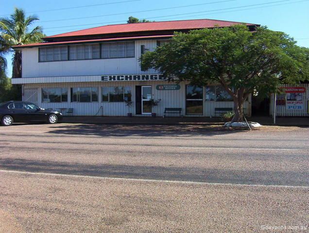
Torrens Creek State School, now closed, opened in 1891. The town has a hotel (pub) and a garage.
The town is named for the creek that forms part of the headwaters of the Thomson River. In 1942 a large World War II ammunition dump exploded when a fire lit by American and Australian soldiers to create a firebreak got out of control. A series of 12 explosions resulted leaving craters 20 feet (6.1 m) deep, nearly destroying the town.