
Population 879 (2011 census) State electorate(s) Macedon Postal code 3337 Federal division Division of Gorton | Postcode(s) 3337 Toolern Vale Ravenhall Local time Monday 11:36 AM | |
 | ||
Location 39 km (24 mi) NW of Melbourne
10 km (6 mi) N of Melton LGA(s) City of Melton
Shire of Macedon Ranges Weather 17°C, Wind SE at 8 km/h, 48% Humidity | ||
Toolern Vale is a town in Victoria, Australia, 39 km north-west of Melbourne's Central Business District. It is within the local government areas of the City of Melton and the Shire of Macedon Ranges. At the 2011 census, Toolern Vale had a population of 879.
Contents
Map of Toolern Vale VIC 3337, Australia
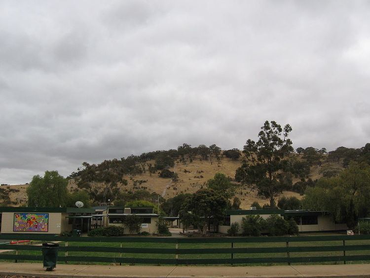
Toolern Vale contains a primary school, CFA fire station, a war memorial and reserve with tennis courts, as well as a community hall often used for antique and collectables auctions.
Toolern Vale is renowned for the numerous horse studs, stables and training facilities which abound.
The area is often referred to as "Thoroughbred Country". VicRoads has issued special, gold and brown "Thoroughbred Country" licence plates which are often seen being spotted on vehicles from Toolern Vale.
The Post Office opened on 1 January 1871 and was known as Toolern until 1904.
Melton Airfield
Melton Airfield is a small grass strip airfield located at the intersection of Coburns Road and Diggers Rest - Coimadai Road.