
Area 6,573 km² | Time zone GMT (UTC+0) Local time Sunday 4:37 PM | |
 | ||
Weather 40°C, Wind W at 11 km/h, 6% Humidity | ||
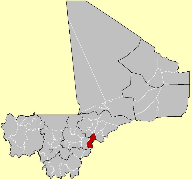
Tominian Cercle is an administrative subdivision of the Ségou Region of Mali. The administrative center of the local government is in the town of Tominian. The Cercle is divided into Communes, and below this, quarters/villages. In the 2009 census the cercle had a population of 219,853 people.
Map of Tominian, Mali
The cercle of Tominian is divided into 11 communes:
References
Tominian Cercle Wikipedia(Text) CC BY-SA