
Country Brazil Elevation 170 m (560 ft) Area 288 km² Local time Sunday 11:39 AM | Founded November 25, 1953 Demonym(s) Geruense Population 13,204 (2016) | |
 | ||
Weather 28°C, Wind E at 13 km/h, 72% Humidity | ||
Tomar do Geru is a municipality located in the Brazilian state of Sergipe. Its population was 13,204 (2016) and it covers 305 km2 (118 sq mi). Tomar do Geru has a population density of 43 inhabitants per square kilometer. It is located 131 km (81 mi) from the state capital of Sergipe, Aracaju. The Church of Nossa Senhora do Socorro was built by the Society of Jesus in 1688. It was listed as a historic structure by the Brazilian National Institute of Historic and Artistic Heritage (IPHAN) in 1943.
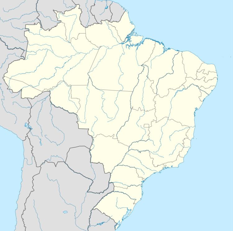
Map of Tomar do Geru, State of Sergipe, Brazil
References
Tomar do Geru Wikipedia(Text) CC BY-SA