
Name Tom Patterson | Role Cartographer | |
 | ||
E693 founder tom patterson on growing tommy john 2 5x yoy in 41b industry future of fundraising
Tom Patterson is a cartographer working for the United States National Park Service in Harpers Ferry, West Virginia. He has developed several widely used open-source tools and bases for cartographers.
Contents
- E693 founder tom patterson on growing tommy john 2 5x yoy in 41b industry future of fundraising
- Tom patterson dealer review 100 positive
- References
His earliest public work aside from maps for the Park Service was a set of papers in 1997 and 1998 explaining techniques for generating shaded relief using Adobe Photoshop and Bryce.
In 2000, he explored ways of digitally producing panoramic maps like those of Heinrich Berann.
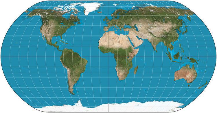
In 2005, he released the open-source Natural Earth database, which combines land-use data with shaded relief for land and ocean areas. It was inspired by the cartography of Hal Shelton. A second release in 2007 (Natural Earth II) used more generalized land-use information based on natural rather than human-made landscapes.
In 2006 he released plan oblique relief, inspired by Erwin Raisz's physiographic map. These maps are in "2.5 dimensions", allowing the relief equivalent of an axonometric plan. His resulting physical maps of the world and the United States are, as with Natural Earth, free for public use.
In 2007 he released Flex Projector together with Bernhard Jenny (cartographer at the ETH Zurich), an open-source tool to develop pseudocylindrical projections, including his own Natural Earth projection.