
 | ||
The Tohono O'odham Indian Reservation, is located in southwestern and central Arizona, United States. The reservation is the homeland of the Tohono O'odham ('Desert People'), an indigenous North American people who reside primarily in the Sonoran Desert of southern Arizona and the Mexican state of Sonora. The reservation had a total 2000 census population of 10,787.
Contents
- Map of Tohono Oodham Nation Reservation Papago AZ USA
- Geography
- Tohono Oodham Nation communities
- Communications
- References
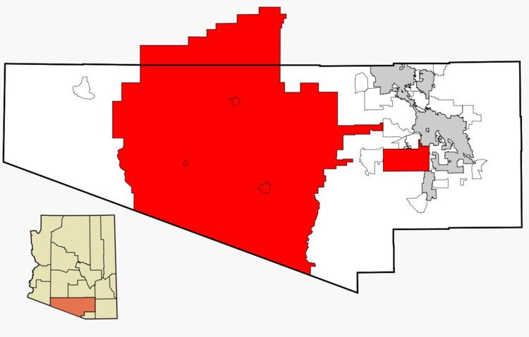
Map of Tohono O'odham Nation Reservation, Papago, AZ, USA
Geography
The reservation is located at 32°09′01″N 112°02′41″W. It has a land area of 11,243.098 square kilometres (4,340.984 sq mi) (97.48 percent of the Tohono O'odham Nation total area), and a 2000 census population of 8,376 persons (77.65% of the total). It encompasses portions of central Pima, southwestern Pinal, and southeastern Maricopa Counties.
The land is also site of the Quinlan and Baboquivari Mountains, which include Kitt Peak, and the Kitt Peak National Observatory and telescopes, as well as Baboquivari Peak. These astronomical sites are under lease from the Tohono O'odham Nation. The lease was approved by the council in the 1950s, for a one-time payment of US$25,000 plus $10 per acre per year.
Tohono O'odham Nation communities
Communications
The telephone area code for the Tohono O'odham Reservation is 520.