
Founded 1696 Time zone PST (UTC+8) Mayor Jaime Villanueva | District 1st district Barangays Area 105.8 km² Local time Sunday 6:02 AM | |
 | ||
Weather 25°C, Wind NE at 5 km/h, 96% Humidity Points of interest Mt. Malinao, Manantial de Tiwi Youth Hostel & Mendoza Resort, Malinao Volcano | ||
Tiwi, officially the Municipality of Tiwi (Central Bikol: Banwaan kan Tiwi; Filipino: Bayan ng Tiwi), is a municipality in the province of Albay in the Bicol Region (Region V) of the Philippines. The population was 53,120 at the 2015 census. In the 2016 electoral roll, it had 30,739 registered voters.
Contents
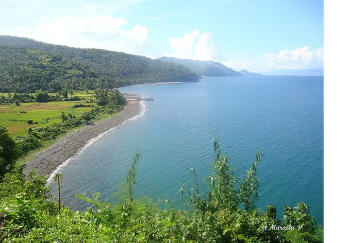
- Map of Tiwi Albay Philippines
- Tiwi ceramics tiwi albay philippines
- History
- Geography
- Barangays
- Demographics
- References
Map of Tiwi, Albay, Philippines
The present mayor is Hon. Leo P. Templado, serving in his first term after having won the mayoral election in May 2013.
Tiwi ceramics tiwi albay philippines
History
Friars called the place Tigbi, which evolved into Tivi and, then, finally to its present name Tiwi.
Tiwi began as a barrio of Malinao before it was formally organized as a politically independent pueblo in 1696. As a pueblo, it was governed by a gobernadorcillo. As a Catholic parish, it was administered by a secular priest under the then Diocese of Nueva Caceres, now an archdiocese. In its primeval stages, it had some 1,105 houses, a parish church, a community-funded primary school, and a cemetery outside the town proper. The villagers ordinarily engaged in fishing, planting rice, corn, sugarcane, indigo, fruit-bearing trees, and vegetables. Aside from agriculture, they also busied themselves weaving cotton and abaca clothes, and in pottery.
In Kagnipa, known today as Barangay Baybay, the dilapidated Sinimbahan, the remnant of the first concrete house of worship built by the Franciscans led by the pastor of Malinao, Fray Pedro de Brosas, remains to be the deaf witness of both the villagers' ready acceptance of the Christian faith and their suffering of persecution at the hands of the Moslems; Christian missionaries called them Moros. The parola by the shore of Sitio Nipa of the same barangay testifies to the people's paralyzing fear of the Moros' capricious forays. The market site of the pueblo before these raids was located in the present location of Baybay Elementary School. In order to sidetrack surprise attacks, at least temporarily, the market site was transferred to southernmost part of now Brgy. Baybay; henceforth, it was called Binanwaan. The transfer, however, was useless. Finally, to have enough time to escape and keep themselves safer from their enemies' easy attacks, they moved the market site and their settlement to the present poblacion now named as Barangay Tigbi. Before the Moro's assaults, Brgy. Baybay was then the center of trade and commerce because of its easy accessibility to marine transportation of goods from the islands of what are now known as Catanduanes, San Miguel, Rapu-Rapu, and Batan, not to mention those from adjoining pueblos in the mainland of Ibalon, now the province of Albay, and the Camarines.
In the extant records of the municipality, the first chief executive of the municipal government was Don Lorenzo Mancilla installed in 1776.
Geography
Tiwi is located at 13°27′N 123°41′E.
According to the Philippine Statistics Authority, the municipality has a land area of 105.76 square kilometres (40.83 sq mi) constituting 4.11% of the 2,575.77-square-kilometre- (994.51 sq mi) total area of Albay.
Barangays
Tiwi is politically subdivided into 25 barangays.
Demographics
In the 2015 census, Tiwi had a population of 53,120. The population density was 500 inhabitants per square kilometre (1,300/sq mi).
In the 2016 electoral roll, it had 30,739 registered voters.