
 | ||
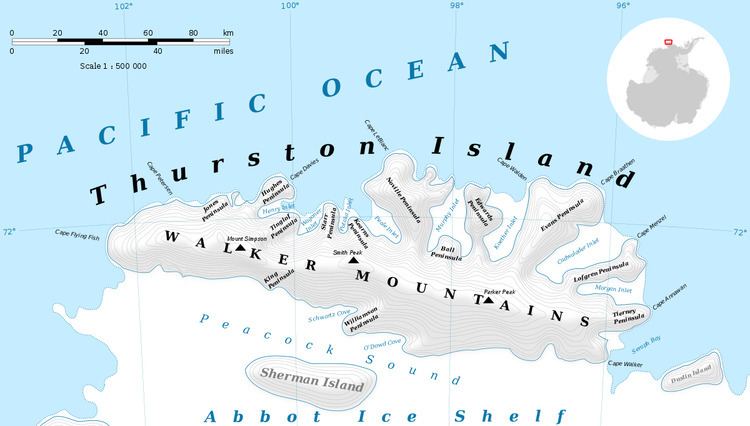
Tinglof Peninsula (72°2′S 100°6′W) is an ice-covered peninsula, 10 nautical miles (18 km) long, between Henry and Wagoner Inlets on the north side of Thurston Island. Delineated from aerial photographs taken by U.S. Navy Operation Highjump in December 1946. Named by Advisory Committee on Antarctic Names (US-ACAN) for Ivor Tinglof, tractor mechanic of the Byrd Antarctic Expedition in 1933-35, who built at Little America the first heavy cargo sleds for use in the Antarctic.
Maps
This article incorporates public domain material from the United States Geological Survey document "Tinglof Peninsula" (content from the Geographic Names Information System).
References
Tinglof Peninsula Wikipedia(Text) CC BY-SA