
Country United States FIPS code 19-78195 Area 176 ha Zip code 50863 Local time Saturday 9:32 AM | Time zone Central (CST) (UTC-6) GNIS feature ID 0462251 Elevation 382 m Population 183 (2013) Area code 641 | |
 | ||
Weather 6°C, Wind NE at 13 km/h, 87% Humidity | ||
Tingley is a city in Ringgold County, Iowa, United States, which was founded in 1883. The population was 184 at the 2010 census.
Contents
Map of Tingley, IA 50863, USA
Geography
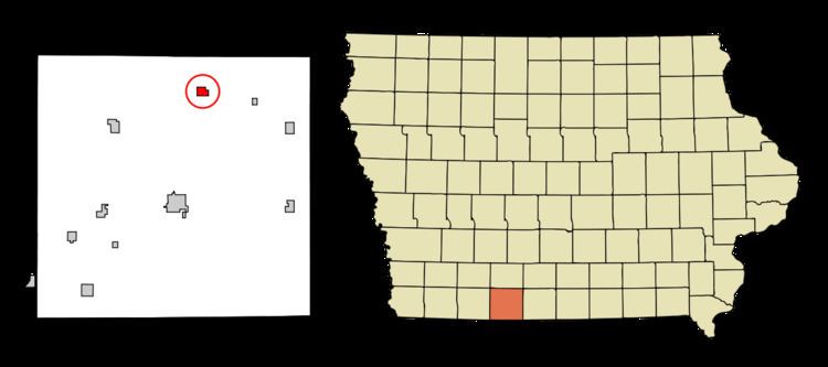
Tingley is located at 40°51′10″N 94°11′45″W (40.852753, -94.195767).
According to the United States Census Bureau, the city has a total area of 0.68 square miles (1.76 km2), all of it land.
2010 census
As of the census of 2010, there were 184 people, 76 households, and 48 families residing in the city. The population density was 270.6 inhabitants per square mile (104.5/km2). There were 94 housing units at an average density of 138.2 per square mile (53.4/km2). The racial makeup of the city was 100.0% White. Hispanic or Latino of any race were 0.5% of the population.
There were 76 households of which 27.6% had children under the age of 18 living with them, 52.6% were married couples living together, 7.9% had a female householder with no husband present, 2.6% had a male householder with no wife present, and 36.8% were non-families. 27.6% of all households were made up of individuals and 19.7% had someone living alone who was 65 years of age or older. The average household size was 2.42 and the average family size was 2.98.
The median age in the city was 45 years. 27.2% of residents were under the age of 18; 4.8% were between the ages of 18 and 24; 17.9% were from 25 to 44; 18.5% were from 45 to 64; and 31.5% were 65 years of age or older. The gender makeup of the city was 47.3% male and 52.7% female.
2000 census
As of the census of 2000, there were 171 people, 87 households, and 44 families residing in the city. The population density was 253.6 people per square mile (98.5/km²). There were 109 housing units at an average density of 161.6 per square mile (62.8/km²). The racial makeup of the city was 98.25% White, and 1.75% from two or more races. Hispanic or Latino of any race were 0.58% of the population.
There were 87 households out of which 19.5% had children under the age of 18 living with them, 42.5% were married couples living together, 6.9% had a female householder with no husband present, and 48.3% were non-families. 46.0% of all households were made up of individuals and 33.3% had someone living alone who was 65 years of age or older. The average household size was 1.97 and the average family size was 2.78.
In the city, the population was spread out with 19.9% under the age of 18, 6.4% from 18 to 24, 20.5% from 25 to 44, 27.5% from 45 to 64, and 25.7% who were 65 years of age or older. The median age was 49 years. For every 100 females there were 81.9 males. For every 100 females age 18 and over, there were 69.1 males.
The median income for a household in the city was $22,321, and the median income for a family was $34,375. Males had a median income of $26,250 versus $22,222 for females. The per capita income for the city was $14,475. About 7.7% of families and 10.1% of the population were below the poverty line, including 2.7% of those under the age of eighteen and 19.0% of those sixty five or over.