
Population 1,262 (2011 census) Area 34.4 km² | Postcode(s) 4563 Tinbeerwah Tewantin Postal code 4563 Lga Noosa | |
 | ||
Location 15 km (9 mi) W of Noosa Heads | ||
Tinbeerwah is a semi-rural locality around 14 kilometres west of Noosa, Queensland, Australia. It is within the local government area of Shire of Noosa (between 2008 and 2013 it was within Sunshine Coast Region). At the 2011 Australian Census the locality recorded a population of 1,262.
Map of Tinbeerwah QLD 4563, Australia
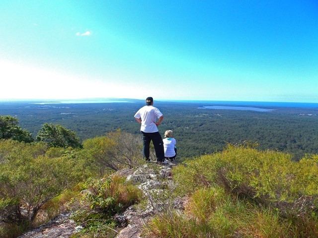
The name is Aboriginal for "place of grasstrees" or "high hill climbing up". Mount Tinbeerwah is located in the north where the Tewantin National Park and Tewantin Forest Reserve have been established.
References
Tinbeerwah, Queensland Wikipedia(Text) CC BY-SA