District Baghpat PIN 250625 Elevation 233 m Local time Saturday 4:04 AM | Time zone IST (UTC+5:30) Vehicle registration UP Population 13,429 (2001) | |
 | ||
Weather 24°C, Wind W at 5 km/h, 52% Humidity | ||
Tikri is a town and a nagar panchayat in Baghpat district in the Indian state of Uttar Pradesh.
Contents
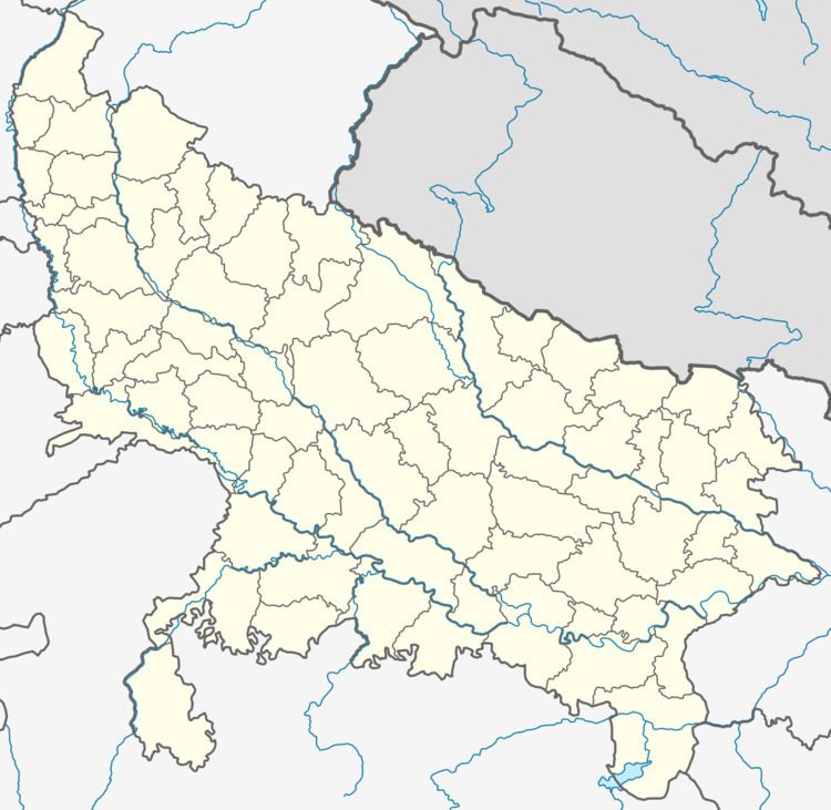
Map of Tikri, Uttar Pradesh 250625
Geography
Tikri is located at 29.23°N 77.35°E / 29.23; 77.35. It has an average elevation of 233 metres (764 feet). It is about 25 km away from Baraut.
Demographics
As of 2011 India census, Tikri had a population of 21,548. Males constitute 58% of the population and females 42%. Tikri has an average literacy rate of 54.8%, lower than the national average of 58.4%: male literacy is 71.3%, and female literacy is 42%. In Tikri, 16% of the population is under 6 years of age.
Educational facilities
Tikri was an Educational hub in the early 1960s. At that time the only Inter College (Har Chand Mal Jain Inter College) of that area had hostel facilities. HMJIC, Tikri was established in the name of Lala Har Chand Mal Jain ji, an industrialist and social worker of Tikri.
