
Country United States County Essex Incorporated May 18, 1889 Elevation 47 m Population 3,382 (2010) | State New York Dissolved December 31, 1993 Area 11.27 km² Area code 518 | |
 | ||
Weather 1°C, Wind S at 8 km/h, 94% Humidity | ||
Ticonderoga cdp new york
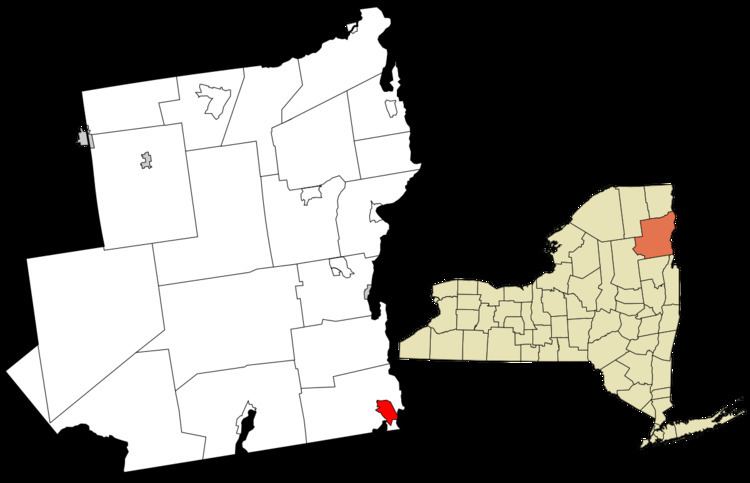
Ticonderoga (/taɪkɒndərˈoʊɡə/) is a hamlet in the southeast part of the town of Ticonderoga, in Essex County, New York, United States. The name is derived from a native term for "between the two waters". The hamlet became a census-designated place in 2008. As of the 2010 census, the population was 3,382, out of a total 5,042 residents in the town of Ticonderoga.
Contents
History
In 1889, the hamlet of Ticonderoga was incorporated as a village within the town of Ticonderoga, but in 1992 residents voted to dissolve the village. The area is an important location for the production of paper. The familiar yellow "Ticonderoga pencils" were named for the fort but were never actually made in the community.
Fort Ticonderoga, east of the community, was the original outpost of civilization before it fell into disrepair after its importance in war declined. The modern fort is a reconstruction of the ruins.
History of, and historic sites in, the village of Ticonderoga are detailed in "Ticonderoga (Village) Multiple Resource Area", a New York State study from 1988.
The Lake George Steamboat Company continues to operate steamboats out of Ticonderoga.
Geography
Ticonderoga is in Upstate New York, south of Plattsburgh, and near the Vermont border. The community lies between Lake George and Lake Champlain on the site of a portage between the two lakes, previously guarded by historic Fort Ticonderoga. The waterway running through this portage is called the La Chute River, which drains the outflow of Lake George into Lake Champlain, and it contains a waterfall at the eastern edge of the hamlet.
During the summer, a diesel-powered cable ferry connects the community to Shoreham, Vermont.
The junction of New York State Route 9N, New York State Route 74, and New York State Route 22 is at the northern edge of the CDP.
According to the U.S. Census Bureau, the CDP has a total area of 4.35 square miles (11.27 km2), of which 4.27 square miles (11.07 km2) is land and 0.08 square miles (0.20 km2), or 1.81%, is water.