
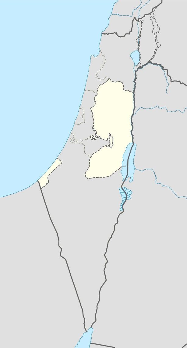
Palestine grid 170/214 Name meaning sandy | Governorate Jenin | |
 | ||
Weather 19°C, Wind NW at 11 km/h, 53% Humidity | ||
Ti'inik (Arabic: تعّنك; Hebrew: תיעניכ), also transliterated Ta'anakh, Ti’innik or Taanach, is a Palestinian village in the West Bank, located 13 km Northwest of the city of Jenin in the northern West Bank. The neighbouring Israeli region of Ta'anakh is named after the town.
Contents
According to the Palestinian Central Bureau of Statistics, the town had a population of 1,095 inhabitants in mid-year 2006.
Archaeology
Just to the east of Ti'inik is a 40-metre-high mound which was the site of the biblical city Taanach or Tanach, a Levitical city allocated to the Kohathites. Twelve Akkadian cuneiform tablets were found here. Approximately one third of the names on these tablets are of Hurrian origin, indicating a significant northern ethnic presence. The main remains visible today are of an 11th-century Abbasid palace.
Ottoman era
Ti'inik, like the rest of Palestine, was incorporated into the Ottoman Empire in 1517, and in the census of 1596, the village appeared as "Ta'inniq”, located in the nahiya of Sara in the liwa of Lajjun. It had a population of 13 households, all Muslim. They paid a taxes on agricultural products, including wheat, barley, summer crops, goats and beehives, in addition to occasional revenues; a total of 7,000 akçe.
In 1870 Victor Guérin found that the village consisted of ten houses. He further described it as: 'Once the southern sides and the whole upper plateau of the oblong hill on which the village stands were covered with buildings, as is proved by the innumerable fragments of pottery scattered on the soil, and the materials of every kind which are met with at every step: the larger stones have been carried away elsewhere. Below the village is a little mosque, which passes for an ancient Christian church. It lies, in fact, east and west, and all the stones with which it is built belong to early constructions ; some of them are decorated with sculptures. Farther on in the plain are several cisterns cut in the rock, and a well, called Bir Tannuk.'
In 1882 the Palestine Exploration Fund's Survey of Western Palestine described it as "A small village, which stands on the south-east side of the great Tell or mound of the same name at the edge of the plain. It has olives on the south, and wells on the north, and is surrounded with cactus hedges. There is a white dome in the village. The rock on the sides of the Tell is quarried in places, the wells are ancient, and rock-cut tombs occur on the north near the foot of the mound."
British Mandate era
In the 1922 census of Palestine, conducted by the British Mandate authorities, Ti'inik had a population of 65; all Muslims, decreasing slightly in the 1931 census to 64; still all Muslim, in a total of 15 houses.
In 1945 the population was 100; all Muslims, with 32,263 dunams of land, according to an official land and population survey. 452 dunams were used for plantations and irrigable land, 31,301 dunams for cereals, while a total of 4 dunams were built-up, urban land.
1948-1967
In the wake of the 1948 Arab–Israeli War, and after the 1949 Armistice Agreements, Ti'inik came under Jordanian rule.
post-1967
After the Six-Day War in 1967, Ti'inik has been under Israeli occupation.