
Province Ontario | ||
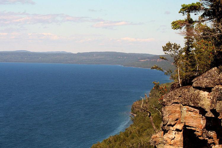 | ||
Thunder Bay is a large bay on the north shore of Lake Superior, in Thunder Bay District, Ontario, Canada. The bay is about 50 kilometres (31 mi) long and 22 kilometres (14 mi) wide. It is bordered to the east by the Sibley Peninsula at the southern tip of which is Thunder Cape, marking the entrance to the bay for ships approaching from the east. The peninsula when viewed from the north shore of the lake has the appearance of a Sleeping Giant.
Map of Thunder Bay, Shuniah, ON, Canada
Rivers emptying into the bay include the:
The harbour at the City of Thunder Bay is Canada's westernmost port on the Great Lakes, and the end of Great Lakes navigation.
The Ojibwa called it Animikie, meaning "thunder". French explorers called it Baie du Tonnerre which was translated to Thunder Bay in English. In 1871, the bay gave its name to the newly created Thunder Bay District, and in 1970, the amalgamated city of Port Arthur and Fort William also adopted the name Thunder Bay.