
Country Vietnam Capital Thuận Châu Area 1,535 km² Local time Friday 8:04 PM | Region Northwest Time zone UTC + 7 (UTC+7) Province Sơn La Province | |
 | ||
Weather 18°C, Wind SE at 0 km/h, 67% Humidity | ||
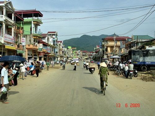
Thuận Châu is a rural district of Sơn La Province in the Northwest region of Vietnam. As of 2003, the district had a population of 133,802. The district covers an area of 1535 km². The district capital lies at Thuận Châu.
Map of Thu%E1%BA%ADn Ch%C3%A2u District, Son La, Vietnam
The Dry Laha (Phlao) and Kháng languages are spoken in Thuận Châu District.
References
Thuận Châu District Wikipedia(Text) CC BY-SA