
Population 138 (2011 census) Civil parish Thornton Local time Friday 3:41 AM | OS grid reference SE759453 Dialling code 01759 | |
 | ||
Weather 13°C, Wind SE at 13 km/h, 77% Humidity | ||
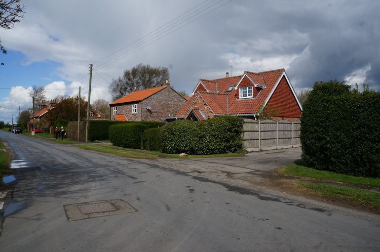
Thornton is a village and civil parish in the East Riding of Yorkshire, England. It is situated approximately 3.5 miles (5.6 km) south-west of the town of Pocklington and 5 miles (8 km) north-west of the village of Holme-on-Spalding-Moor. It lies just to the north of the Pocklington Canal.
Map of Thornton, UK
According to the 2011 UK census, Thornton parish had a population of 138, exactly the same as on the 2001 UK census.
The parish church of St Michael on Main Street is designated a Grade II* listed building.
The other listed structures in the parish are Walbut Lock and Walbut Bridge on the Pocklington Canal, both of which are Grade II listed.
References
Thornton, East Riding of Yorkshire Wikipedia(Text) CC BY-SA