Country Canada Time zone MST (UTC-7) Area 167 ha Population 488 (2011) | Highways 18827 Elevation 650 m Local time Thursday 7:42 PM | |
 | ||
Weather 7°C, Wind W at 10 km/h, 68% Humidity | ||
Thorhild is a hamlet in Alberta, Canada within Thorhild County. It is located at the intersection of Highway 18 and Highway 827, approximately 86 kilometres (53 mi) north of the City of Edmonton.
Contents
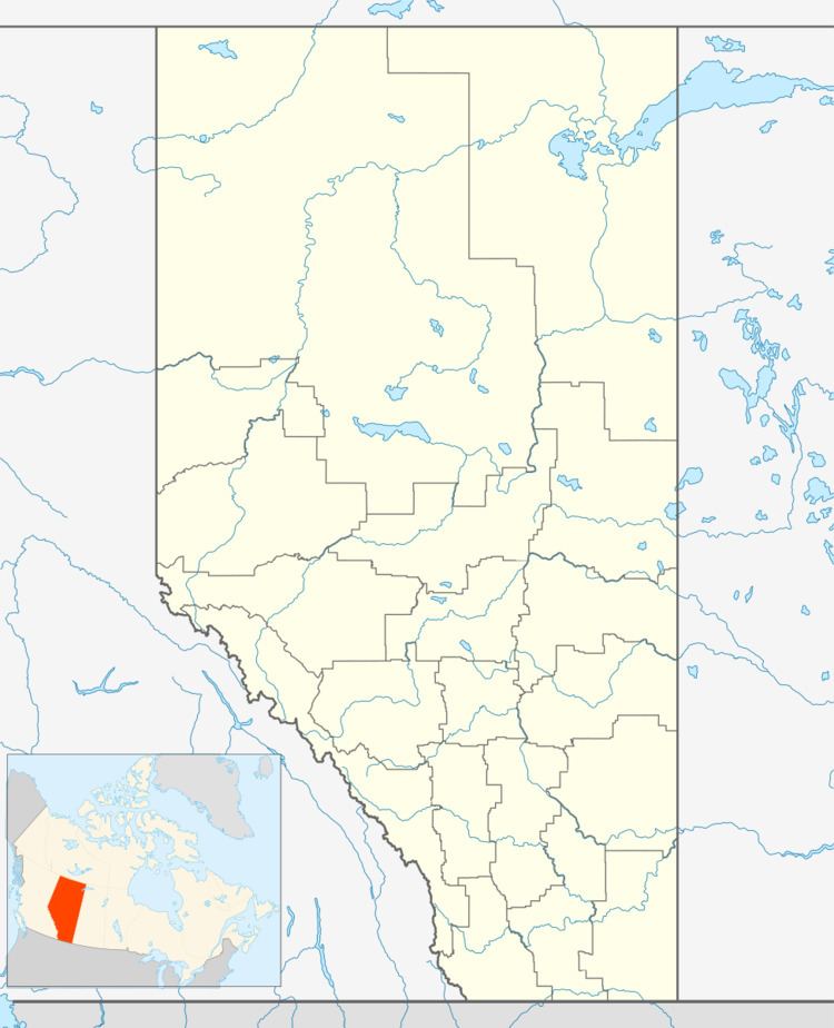
Map of Thorhild, AB, Canada
Thorhild was formerly a village until April 1, 2009 when it dissolved and became a hamlet within the County of Thorhild No. 7. It originally incorporated as a village on December 31, 1949. The Alberta and Great Waterways Railway paid $480 for the original townsite on July 16, 1914.
Demographics
As a designated place in the 2016 Census of Population conducted by Statistics Canada, Thorhild recorded a population of 531 living in 244 of its 270 total private dwellings, a change of 8.8% from its 2011 population of 488. With a land area of 1.68 km2 (0.65 sq mi), it had a population density of 316.1/km2 (818.6/sq mi) in 2016.
In the 2011 Census, Thorhild had a population of 488 living in 240 of its 268 total dwellings, a -3.4% change from its 2006 population of 505. With a land area of 1.67 km2 (0.64 sq mi), it had a population density of 292.2/km2 (756.8/sq mi) in 2011.
