
Local time Thursday 8:19 PM | Population 0 (2000) | |
 | ||
Weather -6°C, Wind N at 23 km/h, 40% Humidity Points of interest Mount Washington Cog Rail, Mount Adams, Mount Jefferson, Mount Clay | ||
Thompson and Meserve's Purchase is a township located in Coos County, New Hampshire, United States. As of the 2010 census, the purchase had a population of 0.
Contents
Map of Thompson and Meserve's Purchase, NH, USA
In New Hampshire, locations, grants, townships (which are different from towns), and purchases are unincorporated portions of a county which are not part of any town and have limited self-government (if any, as many are uninhabited).
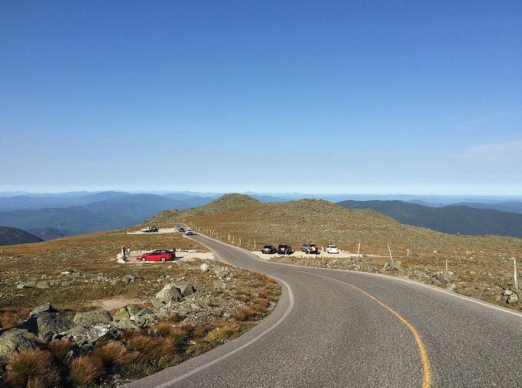
Thompson and Meserve's Purchase is notable for encompassing the northern slope of Mount Washington, including a large portion of the Mount Washington Auto Road and the Cog Railway.
History
Thompson and Meserve's Purchase was sold by Commissioner Willey to Samuel W. Thompson of Conway and George P. Meserve of Jackson, New Hampshire in 1855 for $500 USD.
Geography
According to the United States Census Bureau, the purchase has a total area of 18.5 square miles (48 km2), all of it land. The highest point in the purchase is 6,000 feet (1,800 m) above sea level on the slope of Chandler Ridge, just north of the summit of Mount Washington. Thompson and Meserve's Purchase contains a northern portion of the Presidential Range, including Mount Adams, the second highest mountain in New Hampshire at 5,774 feet (1,760 m), and Mount Jefferson, the third highest peak at 5,712 feet (1,741 m). To the east of the Presidential peaks lies the Great Gulf, a deep glacial cirque.
Demographics
As of the census of 2010, there were no people living in the township.