
Country United States ZIP code 39171 Elevation 125 m | Time zone Central (CST) (UTC-6) Area code(s) 601 & 769 Local time Thursday 6:50 PM | |
 | ||
Weather 21°C, Wind SW at 11 km/h, 63% Humidity | ||
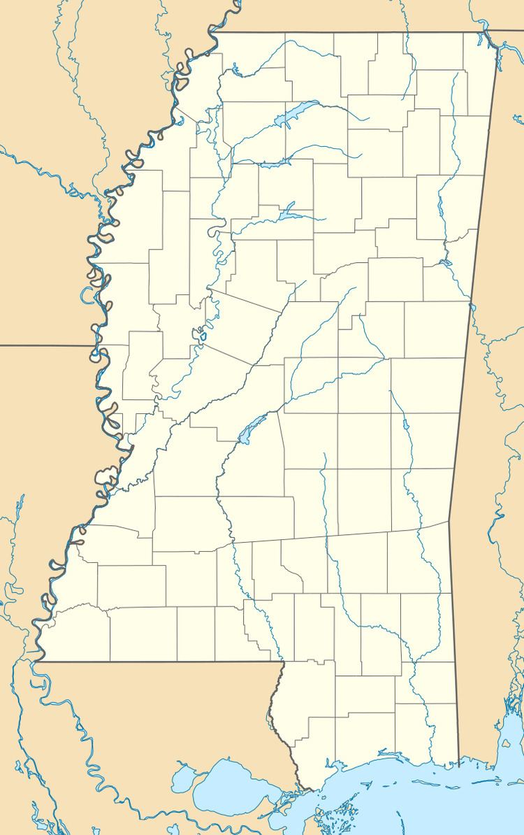
Thomastown is an unincorporated community in Leake County, Mississippi, United States. Thomastown is located at the junction of Mississippi Highway 43 and Mississippi Highway 429 11.9 miles (19.2 km) northwest of Carthage. Thomastown has a post office with ZIP code 39171, which opened on May 17, 1933.
Map of Thomastown, MS 39090, USA
References
Thomastown, Mississippi Wikipedia(Text) CC BY-SA