Time zone EET (UTC+2) Area 333.7 km² Area code 26440 Regional unit Aetolia-Acarnania | Districts 23 Postal code 300 08 Local time Thursday 8:32 AM | |
 | ||
Weather 10°C, Wind NE at 10 km/h, 66% Humidity | ||
Thermo greece sterea central greece atlasvisual
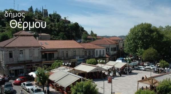
Thermo (Greek: Θέρμο, before 1915: Κεφαλόβρυσον Kefalovryson) is a town and a municipality in Aetolia-Acarnania, Greece. It is located in the southeastern part of the regional unit, largely between Lake Trichonida (the largest natural lake in Greece) and the southern border of Evrytania. It has a land area of 333.701 km2 (129 sq mi) and a population of 8,242 inhabitants (2011 census).
Contents
Map of Thermo, Greece
Its municipal seat is the town of Thermo (pop. 1,959). Its largest other towns are Analipsis (pop. 734), Petrochori (444), Sitaralona (664), Myrtea (729), and Koniska (326). The nearby village of Mega Dendron was the birthplace of Cosmas of Aetolia.
Thermo took its name from the ancient city Thermos, that was located near the present town.
Subdivisions
The municipality Thermo consists of the following communities:
