
 | ||
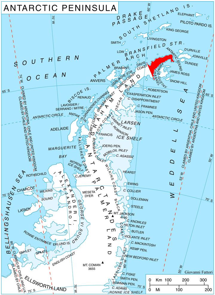
Theodolite Hill (63°29′S 57°35′W) is a hill, 680 m, with a small rock outcrop at its summit, standing at the southeast corner of Laclavère Plateau 5 nautical miles (9 km) west of the northwest end of Duse Bay, in the northeast part of Trinity Peninsula. Discovered by the Falkland Islands Dependencies Survey (FIDS), 1946, and so named during their survey of the area because it served as an important theodolite station.
Map
This article incorporates public domain material from the United States Geological Survey document "Theodolite Hill" (content from the Geographic Names Information System).
References
Theodolite Hill Wikipedia(Text) CC BY-SA