
Population 484 (2011 census) Postal code 4377 | Postcode(s) 4377 The Summit Glen Niven Local time Monday 12:12 AM | |
 | ||
Weather 17°C, Wind E at 18 km/h, 100% Humidity | ||
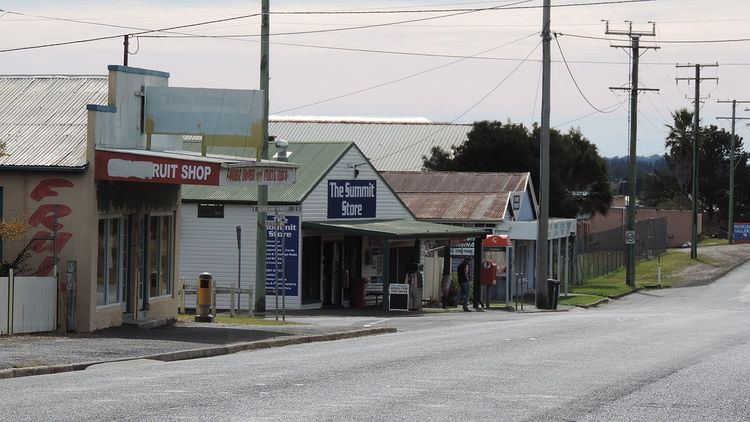
The Summit is a town and locality in the Southern Downs Region, Queensland, Australia. In the 2011 census, The Summit had a population of 484 people.
Contents
Map of The Summit QLD 4377, Australia
History
The town takes its name from The Summit railway station, which was so named because it was the highest point (923.5 metres (3,030 ft)) on the Southern railway line from Warwick to Wallangarra.
The Summit State School opened on 29 August 1921.
Geography
The Summit is predominantly farmland with some urban development surrounding the railway station. The New England Highway passes north-south through the town, running close to and parallel with the Southern railway line. Originally the highway was the main street of the town, but now the highway bypasses the town to the east. Cannon Creek forms the south-western border of the locality.
Amenities
The Summit Public Hall is on Granite Belt Drive opposite the railway station.