
Population 852 (2006 census) Mean max temp Mean min temp Postal code 2483 | Postcode(s) 2483 Elevation 21 m | |
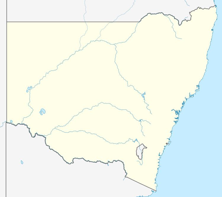 | ||
Location 780 km (485 mi) from Sydney147 km (91 mi) from Brisbane28 km (17 mi) from Byron Bay | ||
The Pocket is a locality in New South Wales, Australia. It is a village surrounded by foothills. There is a local tennis court and school. The Pocket is subject to flooding because of its placement in a catchment and the series of creeks which flows through the area. At the 2006 census, The Pocket had a population of 852 people.
Contents
Map of The Pocket NSW 2483, Australia
Climate
The Pocket has mild climate with few frosts in winter and wet winters.
Name
The Pocket is so named because of the village's placement between the hills. Some hills around The Pocket are as high as 400m. To the west of The Pocket are the Mount Jerusalem ranges which climb to around 700m.
References
The Pocket, New South Wales Wikipedia(Text) CC BY-SA