
 | ||
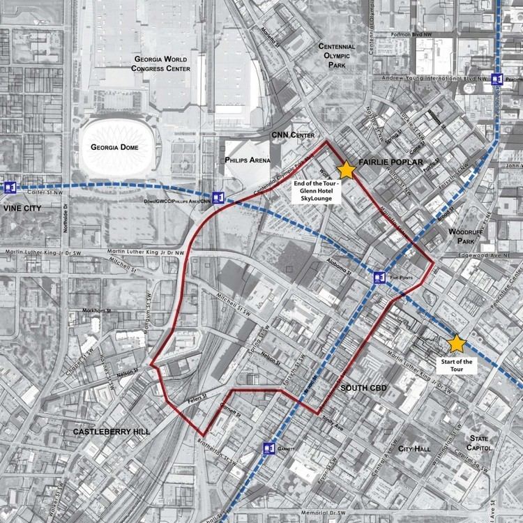
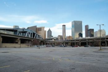
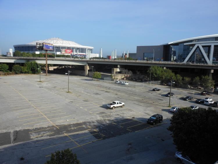
The Gulch is an area of Downtown Atlanta, Georgia, which is unbuilt but which is envisioned as the site of major development.
Contents
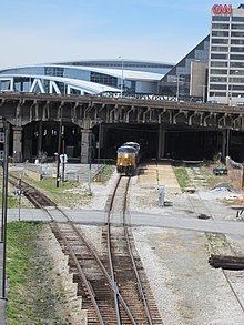
The Gulch area is at ground level, while the streets that surround it are elevated — they were originally elevated in the early 20th century so that traffic could more easily flow above the railroad lines passing through Downtown Atlanta.

Core definition
The Gulch area forms a shape roughly like a capital letter "P" on its side, bounded by:
January 2012 study
However a January 2012 study includes additional areas in The Gulch:
Generic use
Other generic uses ("railroad gulch") refer to the entire rail corridor south-southeastwards, past Underground Atlanta, to Jesse Hill, Jr. Drive SE (including the entire Green Line" corridor, see below).
History
Railroad tracks separate the northern and southern sections of Downtown, paralleling Alabama Street. Originally there were level grade crossings, with only one bridge, but in the 1920s a series of viaducts was constructed. This brought the entire street system up to a higher level, and thus created a "gulch" at the former street level below.
In January 2012 a master plan costing $12.2 million was completed for the Georgia Department of Transportation by Bleakly Advisory Group, Economic Development Research Group and Kimley-Horn and Associates, consultants experienced in large-scale developments. The study predicted that if the Atlanta Multi-Modal Passenger Terminal would be built adjacent to The Gulch, that
Under the plan, The Gulch would become part of the Green Line, a development corridor stretching from Georgia International Plaza in the west, including The Gulch, and following the rail corridor east along Underground Atlanta and terminating at Jesse Hill, Jr. Drive SE (one block southeast of Piedmont Ave.) The Gulch would be covered with parking and transit underneath and open space on top.
In July 2012 redevelopment plans for The Gulch moved ahead when President Barack Obama announced the final selection of the Atlanta Multi-Modal Passenger Terminal (MMPT) as one of a small group of projects from across the country to participate in the Dashboard initiative, putting the permitting process for the Terminal on the fast track, cutting the timeline by as much as one year.