
Postcode(s) 2650 | Postal code 2650 | |
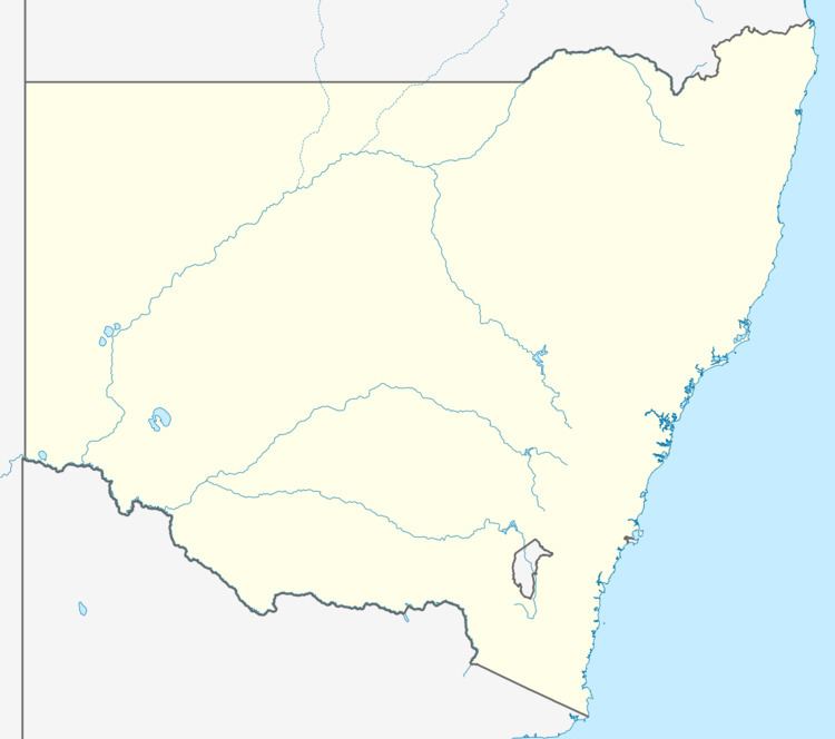 | ||
The Gap is a farming community in the central east part of the Riverina close to Wagga Wagga.
Map of The Gap NSW 2650, Australia
References
The Gap, New South Wales Wikipedia(Text) CC BY-SA
Postcode(s) 2650 | Postal code 2650 | |
| ||
The Gap is a farming community in the central east part of the Riverina close to Wagga Wagga.