
Country Vietnam Capital (and Largest city) Thanh Hóa Area codes 237 | Region North Central Coast Time zone ICT (UTC+7) ISO 3166 code VN-21 | |
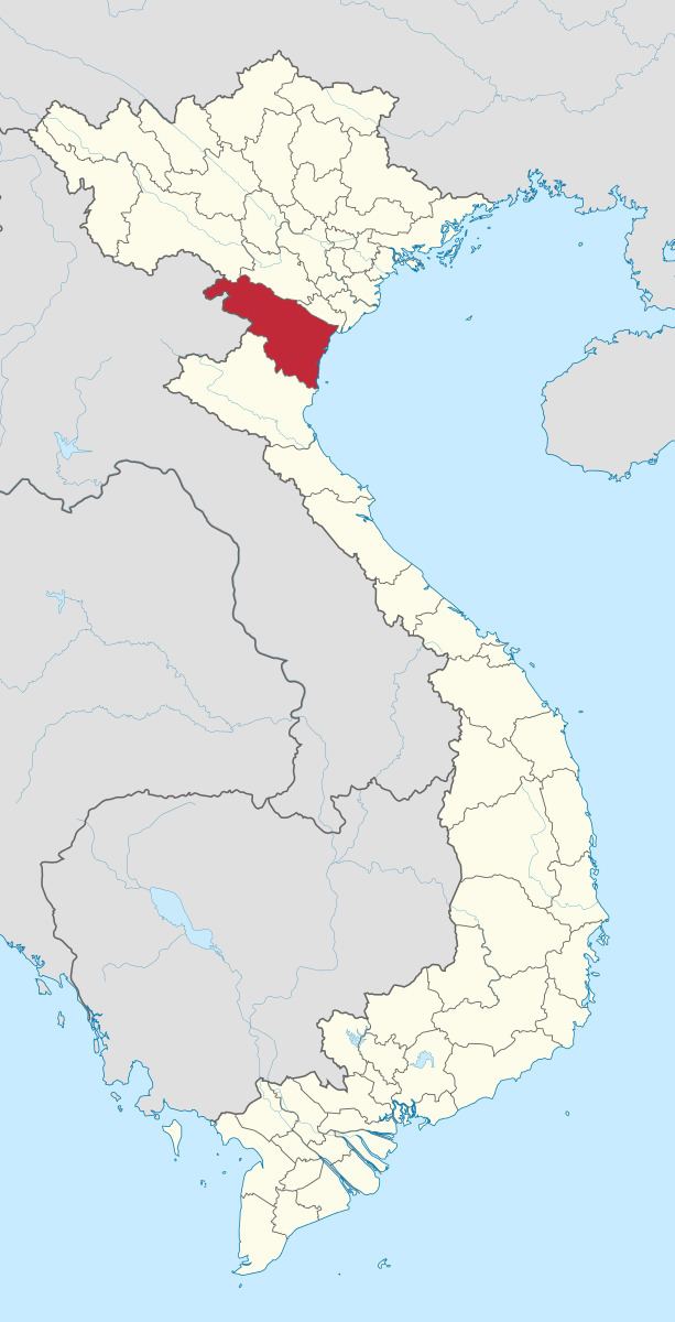 | ||
Thanh Hóa ([tʰaŋ hwǎː]) is a province in the North Central Coast region of Vietnam. This is a relatively large province, which ranks as 5th in area and as 3rd in population among 63 central administrative subdivisions. Its capital and largest city is Thanh Hóa City . The province is widely called Xứ Thanh which means Thanh Hoa land in Vietnamese.
Contents
Map of Thanh Hoa, Vietnam
Human civilization has existed in Thanh Hoa for about 6000 years ago as one of the earliest destination of ancient Vietnamese. Archaeological excavations revealed that the first culture presented was Đa Bút Culture, a culture located along the Sông Đáy river and the Sông Mã river.
Thanh Hoa is located in the middle of North Vietnam and North Central Coast as a transition at many aspects: geology, climate, administrative division and local culture. Thus, these factors show that Xứ Thanh is a province with many particular local habits and customs and cultures.
Thanh Hoa has 1 provincial municipality, 2 townships and 24 counties with area of 11,133.4 km2 and population of approximate 3.5 million. Sầm Sơn township is a famous seaside resort situated 16 km from the Thanh Hoa city centre. Whilst, Bỉm Sơn township is a large industrial centre especially cement. The province is also home of many ethnic groups, in which the most 7 ethnicities are Kinh, Mường, Thái, H'Mông, Dao, Thổ, Khơ-mú.
Administrative divisions
Thanh Hóa is subdivided into 27 district-level sub-divisions:
They are further subdivided into 28 commune-level towns (or townlets), 579 communes, and 30 wards.
Etymology
The province's name derives from Sino-Vietnamese 清化.