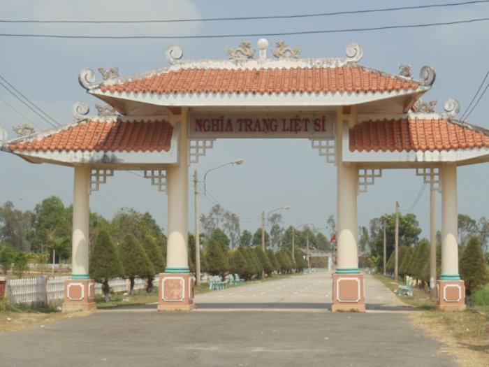
Country Vietnam Capital Thanh Bình (township) Area 329 km² Local time Thursday 8:27 PM | Region Mekong Delta Time zone UTC + 7 (UTC+7) Province Đồng Tháp Province | |
 | ||
Weather 27°C, Wind E at 10 km/h, 80% Humidity | ||
5 visiting ailing aulacese vietnamese composer thanh b nh
Thanh Bình is a rural district of Đồng Tháp Province in the Mekong Delta region of Vietnam. As of 2003, the district had a population of 158,203, 162,130 in 2004. The district covers an area of 329 km². The district capital lies at Thanh Bình.
Contents
- 5 visiting ailing aulacese vietnamese composer thanh b nh
- Map of Thanh BC3ACnh District C490E1BB93ng ThC3A1p Province Vietnam
- Divisions
- References
Map of Thanh B%C3%ACnh District, %C4%90%E1%BB%93ng Th%C3%A1p Province, Vietnam
Divisions
The district is divided into one urban ward and communes:
Thanh Bình, Bình Thành, Tân Mỹ, Phú Lợi, Tân Phú, Tân Thạnh, An Phong, Tân Long, Tân Quới, Tân Hoà, Tân Huề and Tân Bình.
References
Thanh Bình District Wikipedia(Text) CC BY-SA
