
Local time Thursday 6:28 PM | Time zone IST (UTC+5:30) Vehicle registration KL-13 | |
 | ||
Weather 31°C, Wind W at 16 km/h, 66% Humidity | ||
Thana is a commercial suburb in the city of Kannur in Kerala, South India.
Contents
Map of Thana, Kannur, Kerala
It is a road junction in NH 44 (National Highway 44) within Kannur municipality. From this junction the highway proceeds south to Thalassery, and proceeds north towards Taliparamba. The road to east goes to Kakkad and the road to west goes to the old Kannur City.
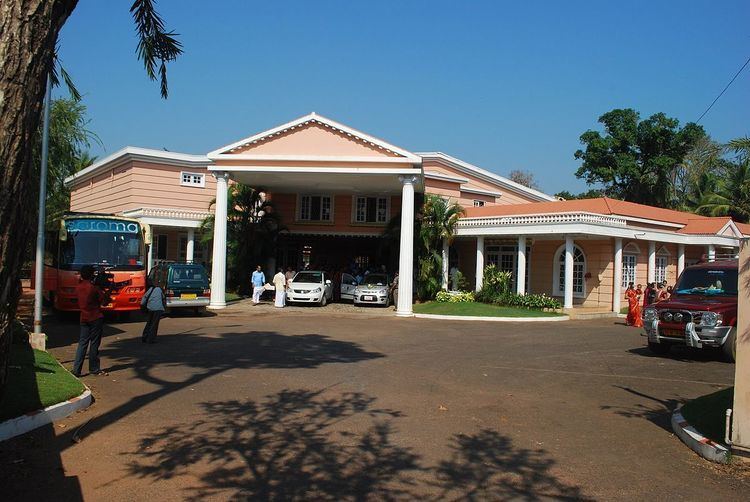
Some shopping centres and private hospitals are situated around Thana. The District Ayurvada Hospital is situated very near to this junction.The headquarters of North Malabar Chamber of Commerce is also sitauated nearby.
Hospitals
Schools
References
Thana, Kannur Wikipedia(Text) CC BY-SA