
Time zone IST (UTC+5:30) Elevation 79 m Population 5,054 (2011) | 2011 census code 551567 Local time Thursday 4:10 PM | |
 | ||
Weather 34°C, Wind W at 14 km/h, 45% Humidity | ||
Thakarpada is a village in the Palghar district of Maharashtra, India. It is located in the Talasari taluka. It lies on the Maharashtra State Highway 73, near the Talasari town.
Contents
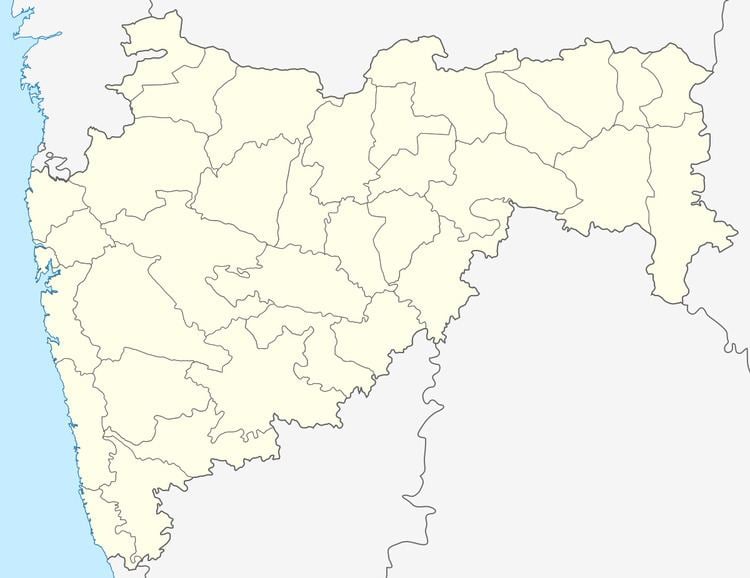
Map of Thakarpada, Maharashtra 401606
Demographics
According to the 2011 census of India, Thakarpada has 831 households. The effective literacy rate (i.e. the literacy rate of population excluding children aged 6 and below) is 75.81%.
References
Thakarpada (census code 551567) Wikipedia(Text) CC BY-SA