
Country Thailand Time zone THA (UTC+7) Area 34.4 km² Province Sing Buri Province | Seat Thon Samo Postal code 16140 Population 16,257 (2007) Geocode 1705 | |
 | ||
Tha Chang (Thai: ท่าช้าง; [tʰâː tɕʰáːŋ]) is a district (Amphoe) in the southern part of Sing Buri Province, central Thailand.
Contents
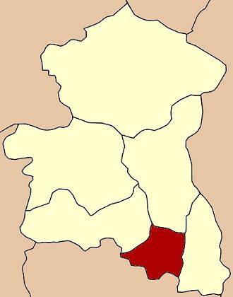
Map of Tha Chang District, Sing Buri, Thailand
History
Three tambons of Phrom Buri district were separated to create the minor district (King Amphoe) Tha Chang in 1960. It was upgraded to a full district in 1963.
Geography
The Noi river is the main water resource of the district. It is a fertile river and has a wide river sand beach. The area was previously used to feed royal elephants.
Neighboring districts are (from the west clockwise) Khai Bang Rachan, Mueang Sing Buri and Phrom Buri of Sing Buri Province, and Chaiyo and Pho Thong of Ang Thong Province.
Administration
The district is subdivided into 4 subdistricts (tambon), which are further subdivided into 23 villages (muban'). Thon Samo is a subdistrict municipality (thesaban tambon) which covers most of the tambon Thon Samo and Phikun Thong. There are further 2 Tambon administrative organizations (TAO).