
Country United States Census area Southeast Fairbanks GNIS feature ID 1410767 Local time Wednesday 2:48 PM | State Alaska Time zone Alaska (AKST) (UTC-9) Elevation 532 m | |
 | ||
Weather 3°C, Wind SE at 10 km/h, 49% Humidity | ||
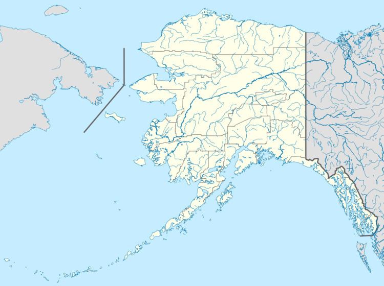
Tetlin Junction (also Forty Mile, Tetlin Center, or Tetling Junction) is an unincorporated community in Southeast Fairbanks Census Area, Alaska, United States. Its elevation is 1,745 feet (532 m), along the north bank of the Tanana River. The official spelling of its name has been "Tetlin Junction" since a Board on Geographic Names ruling in 1950. The community is named for its location at the junction of the Alaska and Taylor highways: it lies 8 miles (13 km) east of Tok Junction, 13 miles (21 km) north-northwest of Tetlin, and 11 miles (18 km) east-southeast of Tanacross.
Map of Tetlin Junction, AK, USA
References
Tetlin Junction, Alaska Wikipedia(Text) CC BY-SA