
 | ||
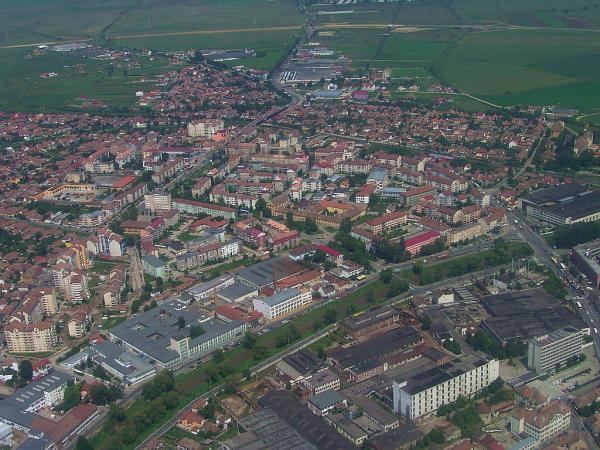
Terezian is a residential and industrial district located in the northern part of Sibiu, Romania. It is the second oldest district, after the city center and is named after Maria Theresa.
Contents
Map of Terezian, Sibiu, Romania
History
The district has its beginnings in the 17-18 centuries, being then a suburb of the fortified city, inhabited mostly by Romanians. In the second half of the 18th century the orphanage complex and St. Elizabeth church is built (1767-1771)
In this district were two large markets, Viehmarkt - Platz, in Romanian Târgul Vitelor, today Terezian Park, and Ross Platz, in Romanian Târgul Cailor, today Gladiolelor and Târgu Cailor streets.
Starting with the late 1950s apartment buildings are being built, replacing the old houses. The first apartment buildings were built on Strada Lungă (near Terezian Park), Aleea Petuniei, Strada Gladiolelor.
Old names
The district appears under other names on old maps, Burger - Vorstadt (eastern half) and Sag - Vorstadt (western half), in the 19th century and first half of the 20th century (1900, 1914, 1921 maps), Suburbiul Ocnei (eastern half) and Suburbiul Turnului (western half) on the 1921 map.