Country United States FIPS code 40-72800 Area 25.2 km² Population 159 (2010) | Time zone Central (CST) (UTC-6) GNIS feature ID 1100881 Local time Wednesday 8:01 AM | |
 | ||
Weather 16°C, Wind S at 21 km/h, 84% Humidity | ||
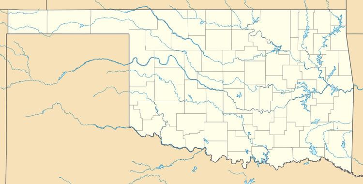
Teresita is an unincorporated community and census-designated place (CDP) in Cherokee County, Oklahoma, United States. The population was 159 at the 2010 census.
Contents
Map of Teresita, OK 74464, USA
Geography
Teresita is located in northern Cherokee County at the junction of the valleys of Spring Creek and Double Spring Creek. Spring Creek is a west-flowing tributary of the Neosho River. The community is 15 miles (24 km) north of Tahlequah, the Cherokee County seat.
According to the United States Census Bureau, the Teresita CDP has a total area of 9.7 square miles (25.2 km2), all land.
References
Teresita, Oklahoma Wikipedia(Text) CC BY-SA
