
Country Russia Administrative center of Terky District Local time Wednesday 3:14 PM | Administrative district Tersky District Urban settlement Terek Urban Settlement | |
 | ||
Federal subject Kabardino-Balkar Republic Municipal district Tersky Municipal District Weather 15°C, Wind N at 23 km/h, 39% Humidity | ||
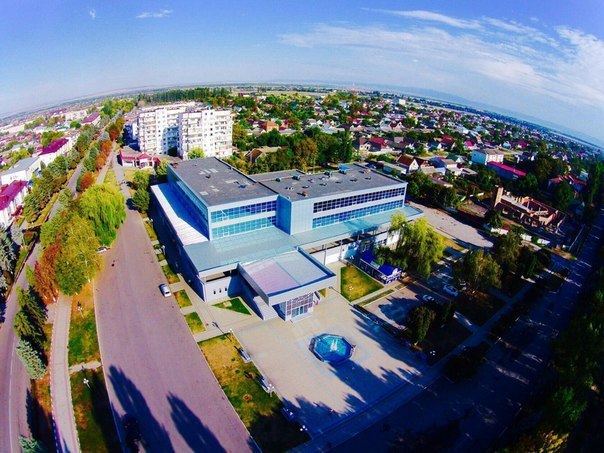
Terek (Russian: Терек; Kabardian: Тэрч къалэ) is a town and the administrative center of Tersky District of the Kabardino-Balkar Republic, Russia, located on the right bank of the Terek River, 59 kilometers (37 mi) east of Nalchik. Population: 19,170 (2010 Census).
Contents
- Map of Terek Kabardino Balkaria Russia
- History
- Administrative and municipal status
- Demographics
- Ethnic composition
- References
Map of Terek, Kabardino-Balkaria, Russia
History
Founded in 1876, it was granted urban-type settlement status in 1945 and town status in 1967.
Administrative and municipal status
Within the framework of administrative divisions, Terek serves as the administrative center of Tersky District, to which it is directly subordinated. As a municipal division, the town of Terek is incorporated within Tersky Municipal District as Terek Urban Settlement.
Demographics
Population: 19,170 (2010 Census); 20,255 (2002 Census); 16,559 (1989 Census).
Ethnic composition
As of the 2002 Census, the ethnic distribution of the population was: