
- elevation 1,289 ft (393 m) - elevation 892 ft (272 m) Country United States of America | - location Lumberport Mouth West Fork River Bridges Fletcher Covered Bridge | |
 | ||
- location southwestern Harrison County | ||
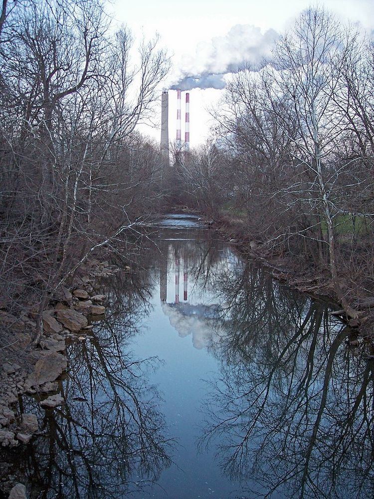
Tenmile Creek is a tributary of the West Fork River, 26.4 miles (42.5 km) long, in north-central West Virginia in the United States. Via the West Fork, Monongahela and Ohio Rivers, it is part of the watershed of the Mississippi River, draining an area of 126 square miles (330 km2) on the unglaciated portion of the Allegheny Plateau.
Map of Tenmile Creek, Northern, WV, USA
Tenmile Creek and its watershed are located entirely in western and northern Harrison County. It rises in the southwestern part of the county, approximately 8 miles (13 km) west of West Milford, and flows northwardly and northeastwardly to the town of Lumberport, where it joins the West Fork River from the southwest. Its tributaries include Salem Fork, which drains the city of Salem; and Little Tenmile Creek, 13 miles (21 km) long, which flows southeastwardly through northwestern Harrison County.
According to the West Virginia Department of Environmental Protection, approximately 81% of Tenmile Creek's watershed is forested, mostly deciduous. Approximately 13% is used for pasture and agriculture, and less than 1% is urban.
According to the Geographic Names Information System, Tenmile Creek has also been known historically as Coal Bank Creek.