
Area 99.4 km² Local time Tuesday 9:07 PM | Population 40,268 (2010) | |
 | ||
Weather 14°C, Wind S at 2 km/h, 87% Humidity | ||
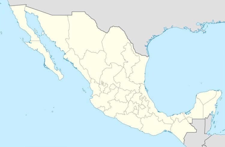
Tenejapa Municipality is one of the 119 municipalities of Chiapas, in southern Mexico.
Map of Tenejapa, Chis., Mexico
As of 2010, the municipality had a total population of 40,268, up from 33,161 as of 2005. It covers an area of 99.4 km².
As of 2010, the town of Tenejapa had a population of 1,998. Other than the town of Tenejapa, the municipality had 69 localities, the largest of which (with 2010 populations in parentheses) were: Kotolte (2,503), Tzajalchén (2,276), Tz'aquiviljok (2,176), classified as urban, and Yashanal (1,893), Matzam (1,599), Chixtontic (1,512), Chacoma (1,462), Sibaniljá Pocolum (1,419), Tres Cerros (1,228), Ococh (1,187), Majosik (1,116), and Jomanichim (1,112), classified as rural.
References
Tenejapa Municipality Wikipedia(Text) CC BY-SA