
South-West end: Lumut (KM0) Length 18.64 km | North-East end: Telisai (KM18.636) | |
 | ||
History: Started in February 2010Expected completion in February 2013Opened 28th June 2016 Villages: Telisai, Sungai Paku, Labi, Sungai Liang, Lumut | ||
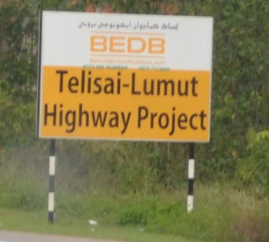
Telisai–Lumut Highway is the third highway in Brunei Darussalam, being the other two which is the Muara–Tutong Highway and Sultan Hassanal Bolkiah Highway. The new highway was completed in late June 2016, and has been handled by the Brunei Economic Development Board (BEDB).
Map of Telisai-Lumut Highway, Liang, Brunei
This dual carriageway will be built from Lumut Bypass (dual carriageway) stretching eastwards through the woods at about 3 kilometres south of the remaining stretch of Jalan Tutong-Seria (see note) (single carriageway), merging with the dual carriageway Tutong Bypass at north-east. The total length of the highway is 18.6 kilometres (11.6 miles).
The new highway will ease traffic between Tutong and Kuala Belait, cutting travel times between the affected stretch.
After more than 3 years delay, the highway was finally opened for public use on 28th June 2016.