
Country Mexico Municipality Tecax Municipality Elevation 20 m (70 ft) Population 25,751 (2010) Postal code 97970 | State Yucatán Seat Tecax Demonym(s) Tecaxican Local time Tuesday 3:26 AM Area code 997 | |
 | ||
Weather 21°C, Wind E at 6 km/h, 94% Humidity | ||
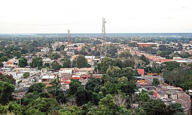
Tekax, sometimes spelled Tecax (in full, Tekax de Álvaro Obregón), is a small city in the Mexican state of Yucatán, located at 20°12′07″N 89°17′17″W in the southernmost part of the state. Tekax (pronounced [teˈkɑʃ]) means "Place of the Forests" in the Yucatec Maya language. Tekax was briefly declared the capital of Yucatán in 1845. Tekax is also the name of the surrounding municipality of which the city of Tekax serves as municipal seat of government.
Map of Tekax, Yucat%C3%A1n, Mexico
In the census of 2005 Tekax had a population of 23,524. The municipality of Tekax reported a population of 37,454. It has an area of 3,819.61 km² (1,474.76 sq mi) and is the second-largest municipality in geographical area in the state, after Tizimín. The majority of the population in the municipality have Mayan ancestry.