
Country Mexico Municipal seat Tejupilco de Hidalgo Elevation 1,117 m (3,665 ft) Area 1,328 km² | State State of Mexico Founded April 1829 Time zone CST (UTC-6) Local time Tuesday 3:19 AM | |
 | ||
Weather 16°C, Wind NE at 5 km/h, 63% Humidity | ||
Tejupilco is a municipality in the State of Mexico, Mexico, located approximately 100 kilometres (62 mi) southwest of the state capital Toluca, along Federal Highway 34. Its municipal seat is Tejupilco de Hidalgo. The municipality has a total area of about 1,327 km2 (512 sq mi), with a contrasting topography ranging from deep ravines and canyons to high ridges; the highest elevation within the municipality reaches some 1,117 metres (3,660 ft) asl. The 2005 census recorded a population of 62,547 inhabitants.
Contents
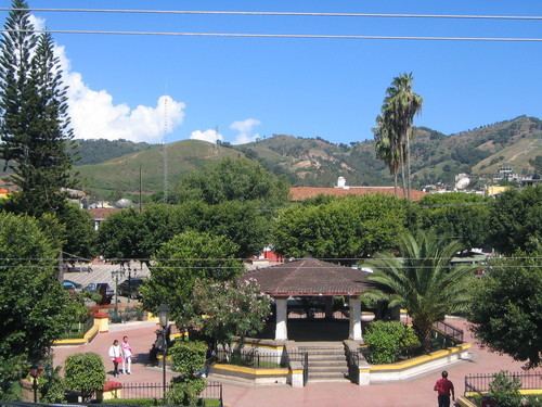
Map of Tejupilco, State of Mexico, Mexico
Tejupilco was the first municipalities founded in April 1829.
Dating from before the Spanish Conquest, indigenous groups such as Otomi, Mazahua and Matlatzinca have lived in the area now contained by the modern municipality. A number of pre-Columbian archaeological sites within the municipal boundaries are known, but as yet little investigated. The name "Tejupilco" derives from Nahuatl and means "in the toes."
Main economic activities are in the agricultural and local retail sectors. Agriculture is the most significant, with some 93,586 hectares (231,260 acres) under cultivation. Commerce and retail ranks as the second-most productive economic sector.
A market held each Sunday is a main retail venue, where products and crafts typical of the region are sold.
The typical gastronomy of the region includes a bread known as "niguas", which is made with natural fruit.
Demography
As municipal seat, Tejupilco de Hidalgo has governing authority over the following communities:
The total municipal area is 1,327.56 km2 (512.57 sq mi), and it has a total population of 62,547 people. It borders Otzoloapan, Zacazonapan, Temascaltepec, San Simón de Guerrero, Amatepec, Sultepec, Texcaltitlán as well as with the states of Michoacán and Guerrero to the west.